

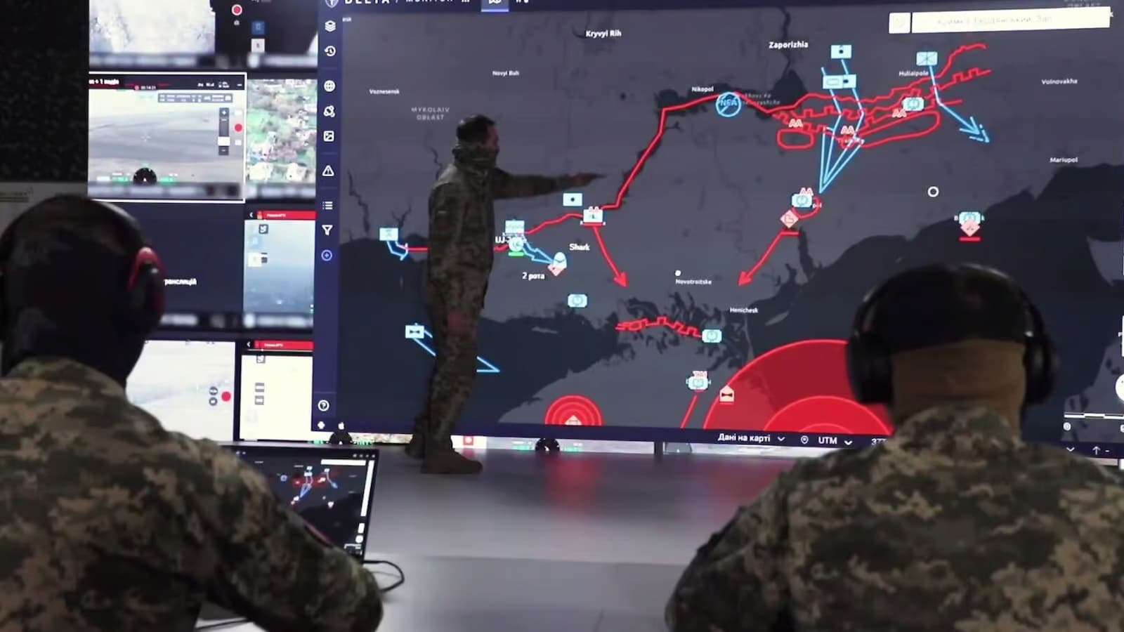
Ukraine DELTA upgrade: Ukraine is giving its DELTA combat system more detailed map data to help troops understand the ground around them. The system now brings satellite images, drone-made orthophotos and 3D terrain models into one digital space.
The update was reported by Ukraine’s Ministry of Defence on September 3, 2026. The main goal is to give military users a more current view of an area before they plan an operation and after an operation is finished.
More images are being added to DELTA
DELTA receives regularly updated satellite information from several providers. These satellite images give a wide view of large areas. They cover Ukraine, including temporarily occupied areas such as Crimea, and can also provide information on areas inside Russia.
AEVEX And Divergent Join Forces To Build Next-Generation Autonomous Drone Faster
This wide coverage can help military users watch for changes on the ground. New buildings or other objects can be spotted and large areas can be checked without needing very detailed images of every location.
Drone-made orthophotos are used when troops need a closer look at one place. These are detailed digital images made with reconnaissance drones. They are corrected and placed on a common coordinate system and scale, which allows them to work more like accurate maps.
Only in July 2026, Ukrainian forces added more than 1,700 orthophotos to DELTA. These images can help users notice smaller objects and changes that may be hard to see in satellite pictures.
3D Maps can Help Plan Ground Routes
DELTA is also using 3D terrain models. These models don’t only show objects on the ground. They also include the shape of the land and the height of objects.
This information can be useful when planning routes for unmanned ground vehicles. Slopes, changes in elevation and other terrain features can affect whether a robotic vehicle can move through an area safely or effectively.
The different types of information can be used together. Satellite images give the wider picture, drone orthophotos provide more detail and 3D models add information about height and terrain. DELTA can also alert users when new images become available for areas they’ve selected. This means units can check for new changes and use the latest information in their next plans.
Taiwan Approves Extra NT$145.7 Billion as Defence Spending Tops NT$1 Trillion
DELTA also gets an AI assistant
The system has another new feature for its users. The AI assistant in DELTA is now available to all users.
It can answer common questions inside the system. Users don’t need to search through manuals or contact support for every basic question. The wider DELTA platform has also been expanded with digital tools for battlefield awareness, mission planning and drone operations. Ukraine’s Defence Ministry says DELTA has been deployed across all levels of its Defence Forces and is being continuously upgraded.
